App gallery / Science
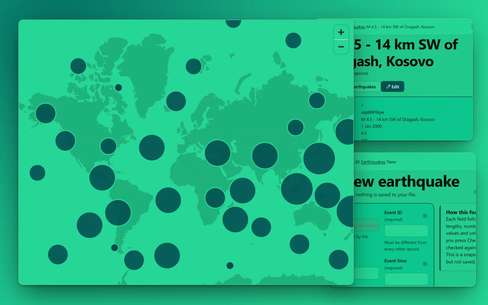
Shown in Chunky Mint Flat · 16 featured looks, 520+ more to choose from
Earthquakes since 2000
An earthquake catalogue seeded from the US Geological Survey: about 190,000 magnitude 4.5 and larger earthquakes worldwide from 2000 to today, each with its time, magnitude and type, depth, place and position on the map, review status, contributing network and error estimates, and a link to the USGS event page. Refresh the seed to add the latest events.
Database app · 1 tables · design: Cream Masthead Ember
Making an app from a pack is for subscribers. Sign in
Tables
- earthquakes25 columns · 187,945 rows in the full data
Sources and licences
- USGS earthquakes — Public domain (Free to use)
- Own packs (ours) — Ours (Free to use)
Shown in the app and its export: Earthquake data from the U.S. Geological Survey (public domain).
Sample: the whole source. Full data: 187,945 rows, 33.3 MB. Measured 2026-10-20.
Data from earthquake.usgs.gov, imported 2026-10-20.
The full data, for your own database
187,945 rows, 10.6 MB to download. CreativePower keeps only the made-up sample rows in your project; load the full data into your own PostgreSQL database (Supabase works): download these files into one folder, unzip the .csv.gz files, then run psql "<your connection string>" -f load.sql.