App gallery / Travel
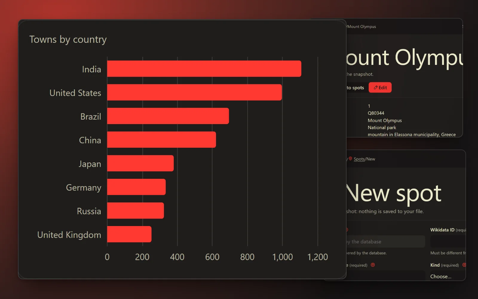
Shown in Cream Masthead Ember · 16 featured looks, 520+ more to choose from
Vacation spots explorer
Thousands of places people travel to, each with its map point, a short description, its country and state or province, its elevation and the year it was founded or protected where known, and a link to its Wikipedia article. Browse by kind, country or region, find the World Heritage Sites, and see the towns of 15,000 people or more near a spot. Country facts (capital, currency, languages, dialling code) come with it.
Directory · 4 tables · design: Chunky Mint Flat
Making an app from a pack is for subscribers. Sign in
Tables
- countries14 columns · 252 rows in the full data
- regions5 columns · 3,865 rows in the full data
- towns10 columns · 34,179 rows in the full data
- spots14 columns · 16,210 rows in the full data
Sources and licences
- Wikidata — CC0 (Free to use)
- GeoNames — CC BY 4.0 (Free with credit)
- Own packs (ours) — Ours (Free to use)
Shown in the app and its export: Spots from Wikidata (CC0). Countries, regions and towns from GeoNames (https://www.geonames.org), licensed under CC BY 4.0. Retrieved 2026-10-22. Changed by CreativePower: fields selected and renamed, spots grouped by kind.
Sample: the whole source. Full data: 54,506 rows, 21.0 MB. Measured 2026-10-22.
Data from www.wikidata.org, imported 2026-10-22.
The full data, for your own database
54,506 rows, 1.9 MB to download. CreativePower keeps only the made-up sample rows in your project; load the full data into your own PostgreSQL database (Supabase works): download these files into one folder, unzip the .csv.gz files, then run psql "<your connection string>" -f load.sql.