App gallery / Science
Shown in Appetite Red Cards · 16 featured looks, 520+ more to choose from
Weather and alerts by location
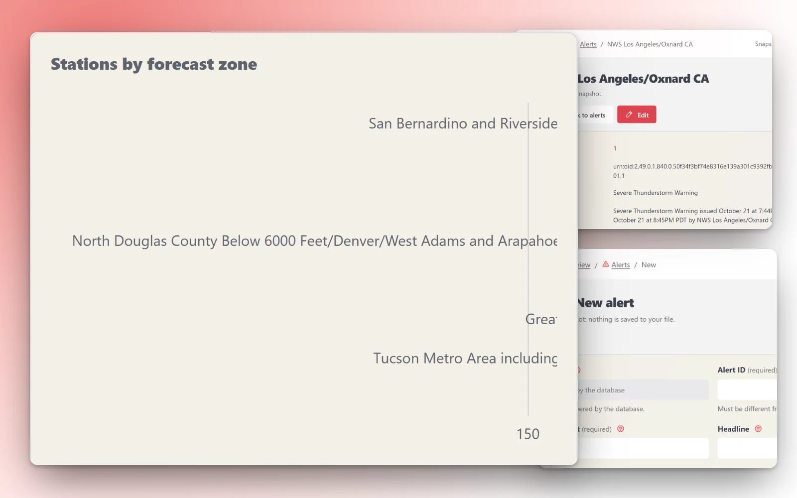
Live weather alerts from the National Weather Service API. Each alert has its event (tornado warning, flood watch, small craft advisory), headline, the areas and zone codes it covers, its severity, urgency and certainty, when it was sent, takes effect, begins, expires and ends, the issuing office, the full description and what to do. The NWS forecast zones (land, coastal and offshore) and county zones are listed with their state, forecast office and time zone, so you can find the zone codes for the places you care about. The seed is a snapshot of the alerts active when it was made: alerts change every few minutes, so the app is meant to refresh them often.
Database app · 4 tables · design: Cyan Code Dark
Making an app from a pack is for subscribers. Sign in
Tables
- zones8 columns · 8,048 rows in the full data
- alerts23 columns · 347 rows in the full data
- alert_zones5 columns · 834 rows in the full data
- stations10 columns · 48,134 rows in the full data
Sources and licences
- NOAA / National Weather Service API — Public domain (Free to use)
- Own packs (ours) — Ours (Free to use)
Sample: the whole source. Full data: 57,363 rows, 64.9 MB. Measured 2026-10-22.
Data from www.weather.gov, imported 2026-10-22.
The full data, for your own database
57,363 rows, 1.9 MB to download. CreativePower keeps only the made-up sample rows in your project; load the full data into your own PostgreSQL database (Supabase works): download these files into one folder, unzip the .csv.gz files, then run psql "<your connection string>" -f load.sql.